British & Canadian Sector
A coastal journey following the advance of British and Canadian troops from Ouistreham to Courseulles-sur-Mer.
Suggested timings
Indicative timings for a 9:00am start by car, lunch break included. Adjust them to each site's opening hours.
- Drive6 min • 6 km
- Drive19 min • 20 km
- Drive10 min • 10 km
- Drive5 min • 5 kmLunch break • 60 min
- 1
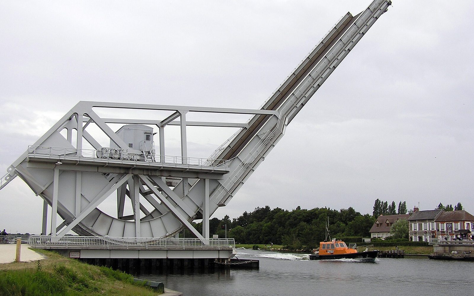 Stop 01 • Bénouville09:00 – 09:40Visit 40 min
Pegasus Bridge
The bridge seized by British glider troops in the early hours of 6 June.
Visit → - 2
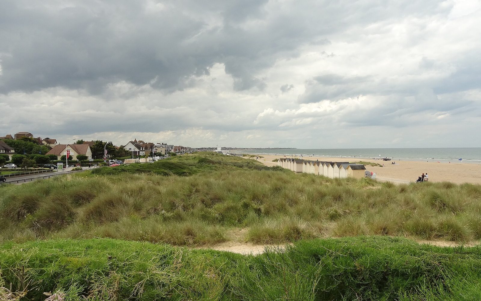 Stop 02 • Ouistreham09:46 – 10:31Visit 45 minDrive 6 min
Sword Beach
The easternmost beach, assaulted by British troops and Free French commandos.
Visit → - 3
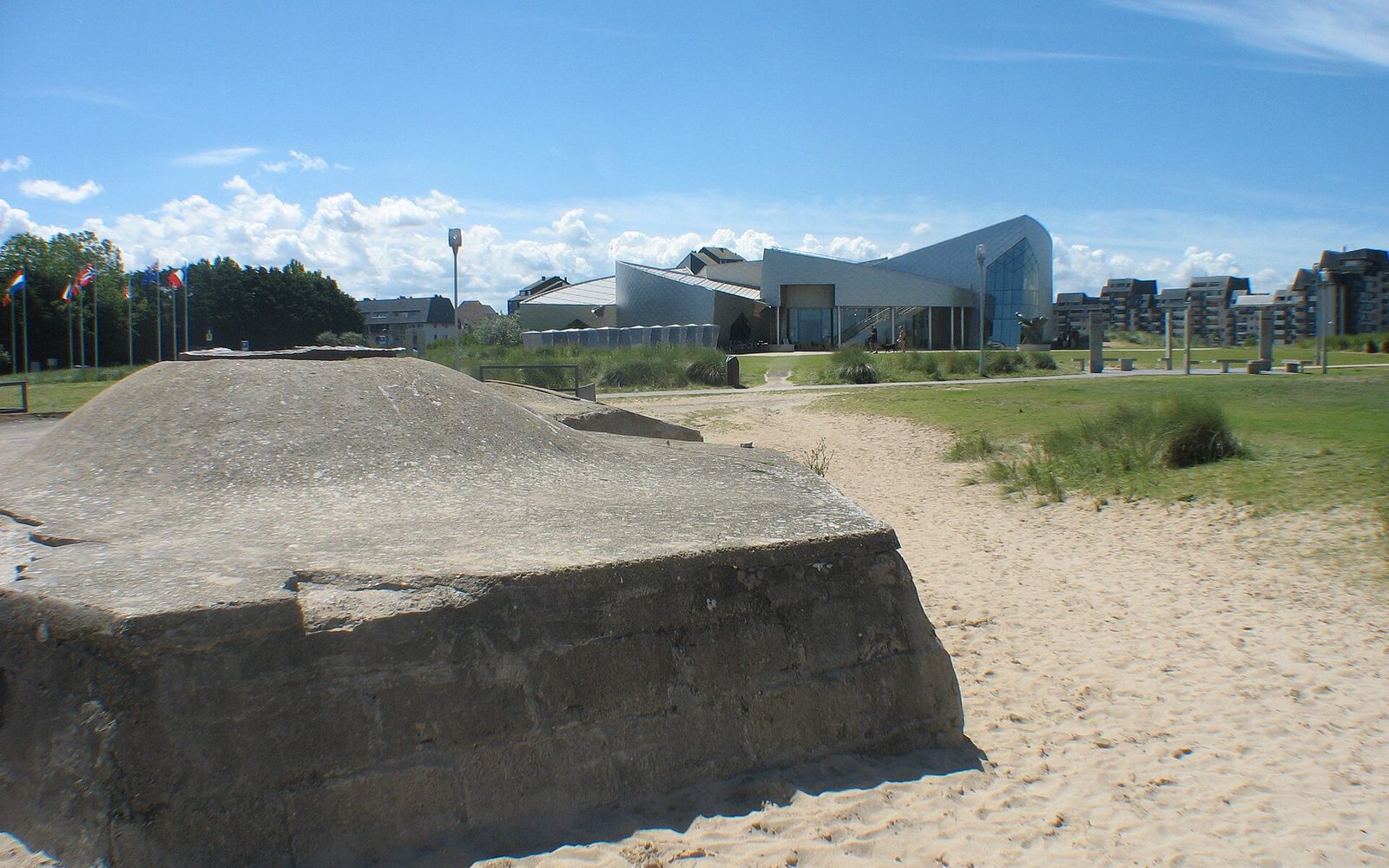 Stop 03 • Courseulles-sur-Mer10:50 – 11:35Visit 45 minDrive 19 min
Juno Beach
The Canadian sector: the courage and heavy toll of the 3rd Infantry Division.
Visit → - 4
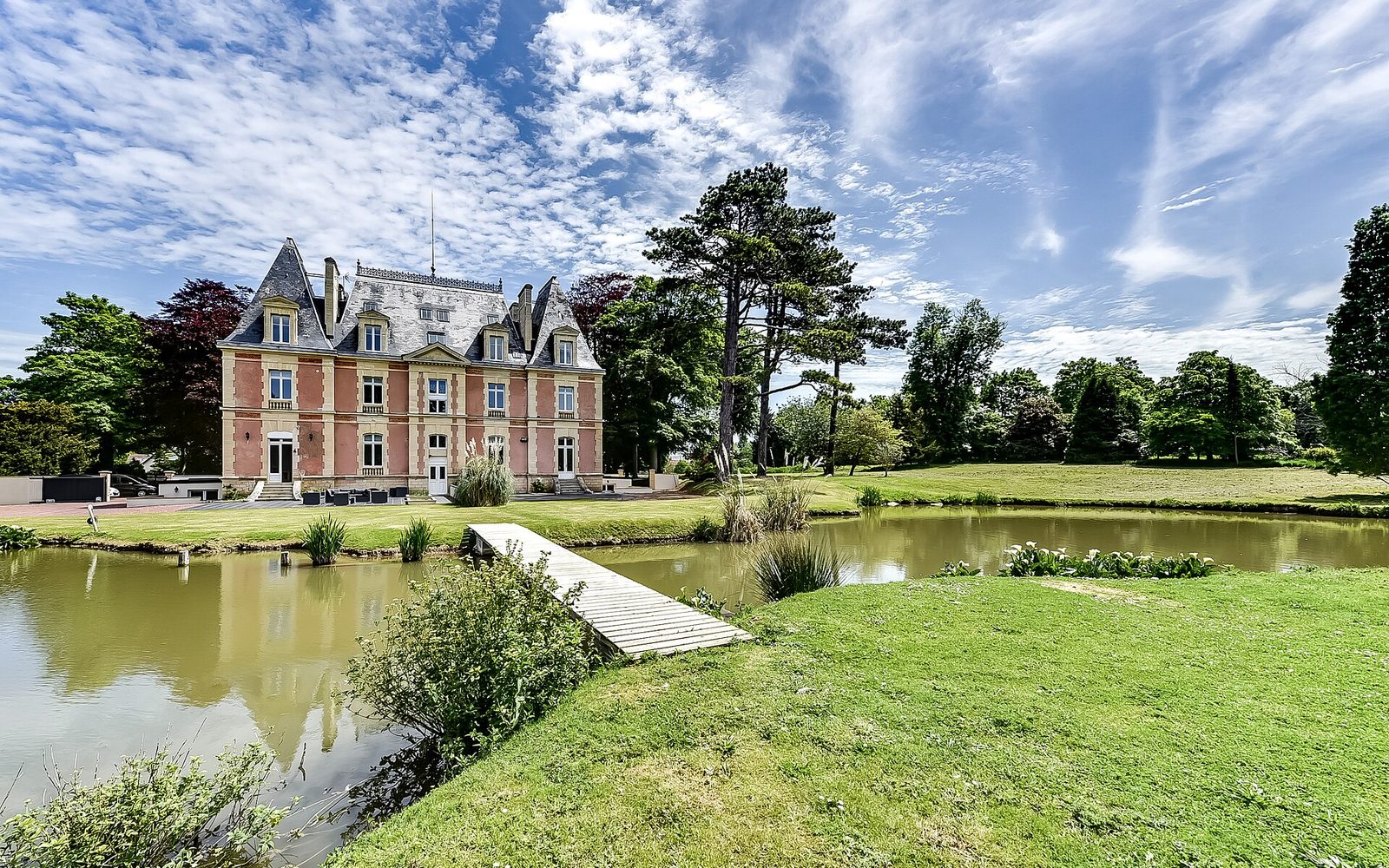 Stop 04 • Ver-sur-Mer11:45 – 12:30Visit 45 minDrive 10 min
Gold Beach
The central British sector, key to the junction with Canadian forces.
Visit → - 5
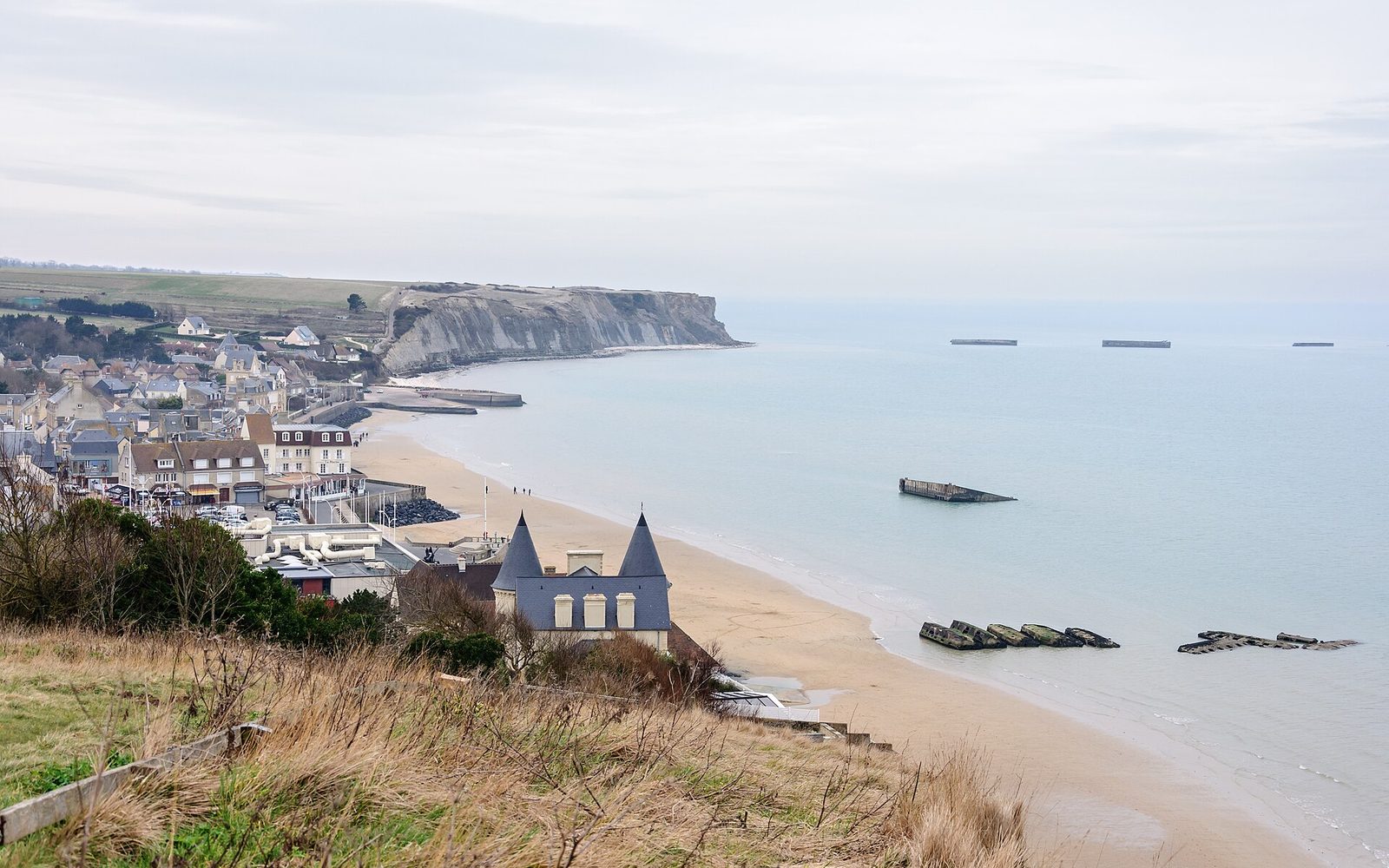 Stop 05 • Arromanches-les-Bains13:35 – 14:15Visit 40 minDrive 5 min
Arromanches – Mulberry Harbour
Remains of the British artificial harbour — a logistical feat of the Landings.
Visit →
Practical tips
Set off around 9:00am: most sites open between 9:00 and 10:00 and crowds are still light early on.
Book museums and guided tours online, especially from June to September and during school holidays.
Walking shoes, a windproof layer and water: much of the route is outdoors and often exposed.
A car is essential between the beaches: public transport is scarce and sites lie 15 to 40 km apart.
Cemeteries and memorials are places of remembrance: dress respectfully, keep quiet, and do not picnic on site.
Check tide times before walking onto Omaha or Utah: at low tide the foreshore extends several hundred metres.
Plan lunch in Sainte-Mère-Église, Arromanches or Port-en-Bessin; there are few options between remote sites.